Elevation Sparklines

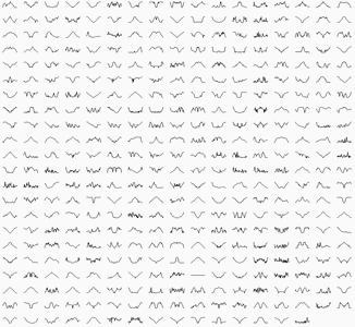
Elevation sparklines of walks on BeyondTracks Sparklines are a lightweight chart and are well suited at showing at a glance what the elevation profile of a bushwalk is like. The graphic above shows the elevation sparklines of all warks on BeyondTracks, if you look long enough you’ll see most walks are either: walk down, then back up walk up, then back down walk up and down a few times We use vue-trend to draw the sparklines, it’s easy to use.

Posted

Origin Story

In November 2012 I started bushwalking to explore more of the outdoors and meet new people. The more I explored, the more I sought new places. Although there existed many other web sites and books which listed walks around Sydney, I felt there was still room for innovation. I started leading some walks and people asked how I knew about these places and which turns to take. My secret was OpenStreetMap, which by that point had already mapped out the vast majority of walking tracks, coupled with an offline mobile map, OsmAnd.

Posted